I met Luca at a roadside stop in Spain. He'd been living in a van for eleven months, moving through Europe without a fixed route, and within half an hour of talking he had mapped out every gap he'd found in the apps he used every day.
He wasn't angry at the apps. He was just very precise about what worked and what didn't.
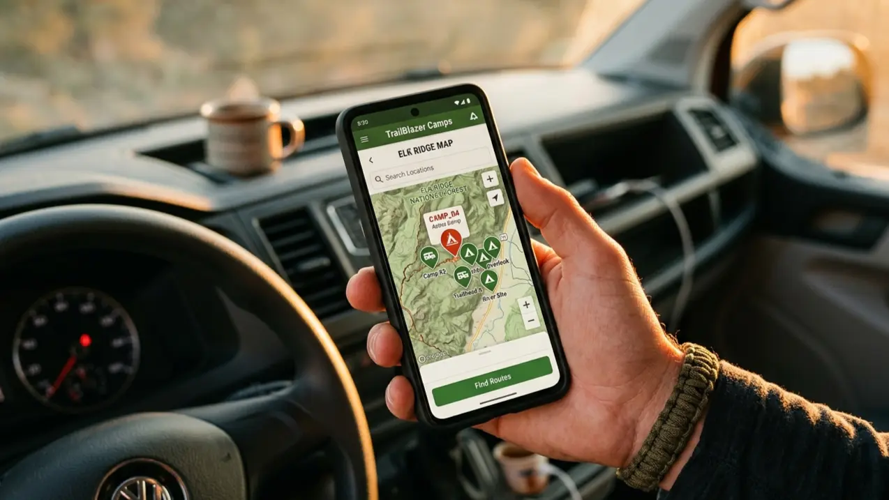
The Model Every App Uses
Park4Night, iOverlander, Campendium: all three run on the same structure. A user marks a spot, writes a note, maybe uploads a photo. The spot enters the database with a timestamp. From that point on, it exists as a fixed coordinate — updated only when someone posts again.
Popular spots get fresh check-ins constantly. The Dolomites, the Algarve, the Spanish Basque coast: seasonal traffic ensures regular reviews. Spots in quieter corridors don't. A note from 2021 saying "stayed here twice, no problems" tells you nothing about the gate someone installed in 2023.
"I opened the app — forty-seven check-ins, four stars," Luca told me. "Last review was March 2023. I got there and there was a metal barrier across the entrance. Three-point turn in the dark, back to the road."
iOverlander 2 shows a "date last visited" for each spot, which helps. But the date only updates when someone actually checks in — it doesn't flag a spot that's been silent for three years as uncertain. From inside the app, three years of silence looks identical to three years of consistent use.
What the Filters Actually Cover
Every major van life app lets you filter by category (wild camping, motorhome area, paid campsite), whether the spot has toilets, electricity, a fee. That's the standard set across all of them.
None let you filter by:
| What you'd want to filter | Why it matters |
|---|---|
| Noise / road proximity | A motorway 300 meters away sounds different at 2am than it does in a daytime photo |
| Water source reliability | "Tap available" doesn't tell you if it runs year-round or dries up in August |
| Ground surface type | Grass in November is mud. Gravel holds. The category "wild camping" covers both. |
| Seasonal access | A spot accessible in July may require chains or be unreachable entirely in October |
| Sun exposure in winter | A south-facing clearing in a narrow valley may see three hours of sun in December |
Most of this information exists somewhere — in written reviews, buried in comments years old, readable only if you scroll through them while parked on a road at 9pm trying to decide whether to stay or drive another forty kilometers.
Water
"Water is the thing that cost me the most time," Luca said. Eleven months, and the problem that kept coming back was the tap.
The standard annotation across every app: a blue tap icon. Sometimes a note in the comments. That's it.
What the icon doesn't tell you: whether the tap is a proper fill point or a standard public fountain — too small to connect a hose to, positioned where you can't get the van close enough to matter. Whether it's seasonal (Park4Night reviews document taps shut off in October and November across southern France and northern Spain). Whether you need a key or a token to open it. Whether the water is potable or for vehicle washing only. Whether the tap that worked in 2022 survived a parking area redesign.
The distinction between a fontaine publique and an actual water fill station sounds obvious until you've driven twenty minutes to one and stood there with a hose that doesn't fit anything. Luca said he'd done it more times than he could count across eleven months.
You end up combining three sources: the app for the location, Street View to confirm the tap still looks intact, a forum search to find whether anyone mentioned it recently. Three tools, fifteen minutes, still uncertain. What you actually want is a tap you can trust before you leave the previous one.
What the Apps Do Well
None of this is an argument that the apps are useless. Park4Night is the most reliable tool for finding motorhome areas in Spain and Italy — designated spots with at least some municipal maintenance behind them. iOverlander's community coverage of remote routes across southern Europe is hard to replicate anywhere else. Campendium is the strongest database for US public lands.
The issue isn't coverage. The apps were built as location directories, not condition monitors. A spot is either in the database or it isn't. Whether it's accessible on a Tuesday in November after a week of rain is a question none of them were designed to answer.
Navigation apps carry the same structural limitation for different reasons — they don't know your vehicle, so they route you onto roads that technically exist but won't hold your weight. The app tells you where to go. What you find when you get there is yours to figure out.
The Gap Nobody Has Closed
"It's not that the apps are bad," Luca said before he turned in for the night. "It's that they're all photographs of the past."
Every van life app is a static map of what people knew when they posted. The best ones update more frequently and flag staleness more clearly. None of them show you current conditions.
Real-time data for van life spots — ground surface, water status, access, noise — doesn't exist in queryable form. It would require either constant human updates or sensor infrastructure nobody has built. What we have is a photograph of the past, refreshed irregularly, which you check before driving somewhere and hope is still accurate when you arrive.
Sunnyplans maps land parcels screened for solar potential across the US and Italy — terrain, grid proximity, and constraint layers included.